The first glimpse of Atlanta feels ordinary enough. You see highways stretching out, bright signs flashing by, and the buzz of traffic in every direction. Then, little details begin to stand out. Street names look strangely familiar even miles apart. Exits lead to routes that seem to twist back on themselves. A quick drive starts to feel unpredictable, and each turn brings a new layer of surprise. There is more to discover about why this happens in Atlanta, and it might change how you see the city’s streets forever.
Too Many Streets With the Same Name

Image via Unsplash/Jason Zhao
The most famous confusion starts with the endless list of Peachtree streets. Peachtree Street, Peachtree Road, Peachtree Circle, West Peachtree Street, Peachtree Battle Avenue, and dozens more share the same root. According to the Atlanta Regional Commission, at least 71 streets in the metro area include the name.
Some of them run parallel, others intersect, and many are miles apart but still carry that familiar word. Tourists often type “Peachtree” into a GPS and arrive somewhere completely different from what they expected.
The Origin: A Network Built in Patches
The name Peachtree Street goes back to Standing Peachtree, a Muscogee settlement near the Chattahoochee River. Trails from that area turned into routes settlers used for trade, which later became the main arteries of the growing city. When those trails evolved into modern roads, the Peachtree name spread far beyond the original spot.
Part of what fueled this was that Atlanta’s road system did not come from a planned grid. Early streets followed railroad stops, mills, and crossroads, and the city expanded by connecting these trading routes rather than replacing them. That history explains why many streets change names mid-route or end abruptly.
Visitors might follow a road through one neighborhood only to watch it split and fade into side streets without clear signs. In some areas, a route that appears to run north and south starts to veer east and leave travelers unsure about their sense of direction.
Spaghetti Junction, the massive interchange where I-285 meets I-85, is a prime example of complexity built on top of an old design. Even long-time residents slow down and check signs twice when approaching that tangle. The combination of winding streets and intricate highway links makes travel feel unpredictable, especially for non-locals.
Landmarks Matter More Than Addresses
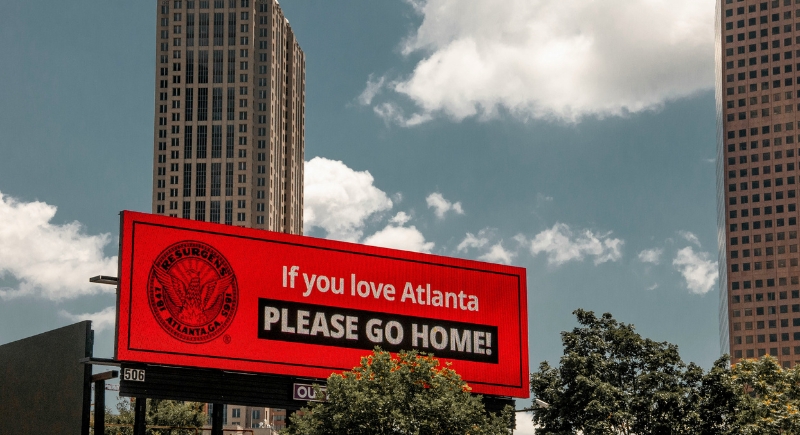
Image via Unsplash/Maria Oswalt
Because many streets share names and change course without warning, directions often include landmarks. Many longtime Atlantans have stories of circling the same block or ending up miles away because a GPS locked onto the wrong version of a Peachtree. So, a friend might tell you to head past a well-known restaurant, turn near a historic house, and watch for a building with a mural. Those often work better than following a printed address alone.
The city’s transit system, MARTA, helps in parts of town with heavy traffic. Its rail lines cover major hubs like the airport, downtown, and Buckhead, which reduces the stress of hunting for the correct street. Still, MARTA does not reach every neighborhood, so travelers often combine public transportation with walking or rideshares. That brings its own surprises as some stations open onto streets with multiple names or intersect with routes that loop back on themselves.
A City That Tests Your Sense of Direction
Atlanta's streets reflect layers of history. The old Muscogee trails, the early railroad stops, and the boom years of development shaped a map that can challenge anyone unfamiliar with it. For visitors, that history means navigation takes extra patience. It is common for someone new to the city to pause at an intersection and check directions twice, even with a phone in hand.